Smithton Visitor Information Centre

03-6413-5333

LOCATION

Tarkine, Tasmania, Australia

Tarkine Drive​

Tarkine Drive​

The Tarkine Drive introduces you to unique flora and fauna, globally significant rainforests, wild river landscapes and dramatic coastlines.

The Tarkine Drive introduces you to unique flora and fauna, globally significant rainforests, wild river landscapes and dramatic coastlines.

The Tarkine Drive will guide you through the dramatic and breathtaking wilderness of Tasmania’s Tarkine region.

The Tarkine is richly woven in human history and natural beauty. There’s plenty to do in the area, whether it is admiring the splendour of tall trees and graceful rivers in silent rainforests, or getting up close to a curious cow.

The best way to explore the richness of the Tarkine is by taking a journey of discovery on the north-west section of the Tarkine Drive and South Arthur Drive. There’s no better way to enjoy the sights: pretty coastal hamlets, rich agricultural land, cool temperate rainforest and wild places. Your journey can be as relaxed or as energetic as you like.

This drive allows easy access to the northern fringe of the Tarkine covering the State’s north-west corner. Travelling through forest reserves and working forests. Picnic facilities and forest walks are provided at both the Julius and Milkshake Forest Reserves, while other places include the Sumac Lookout and the picturesque walk through Lake Chisholm Forest Reserve to a beautiful sinkhole lake. This well-signed drive offers a variety of opportunities from river fishing, canoeing, and camping to walking and barbeques.


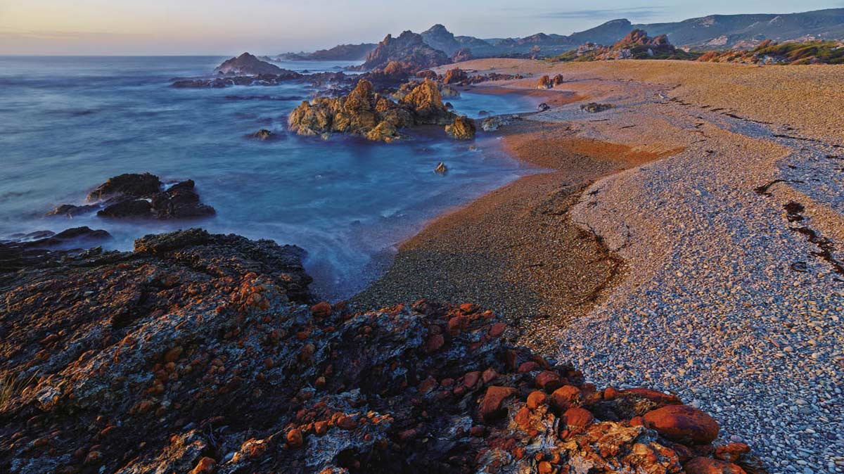
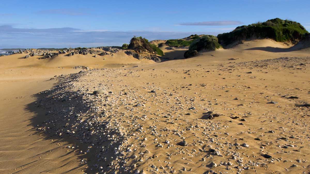
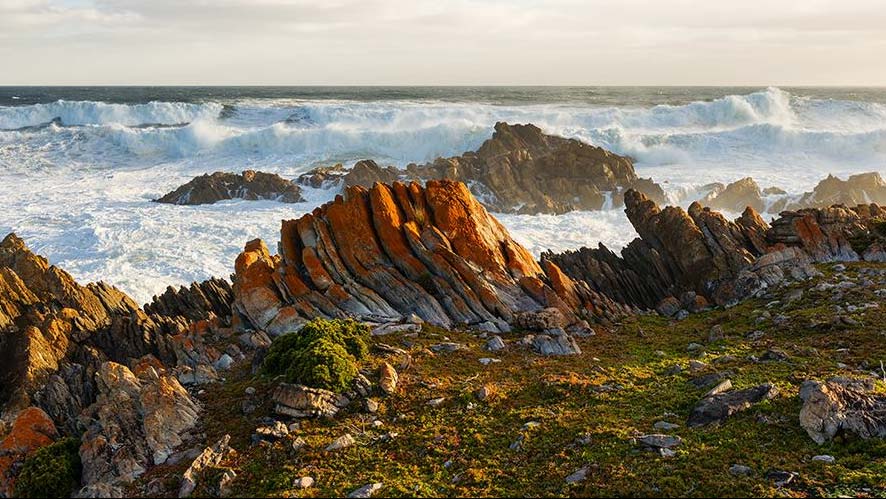
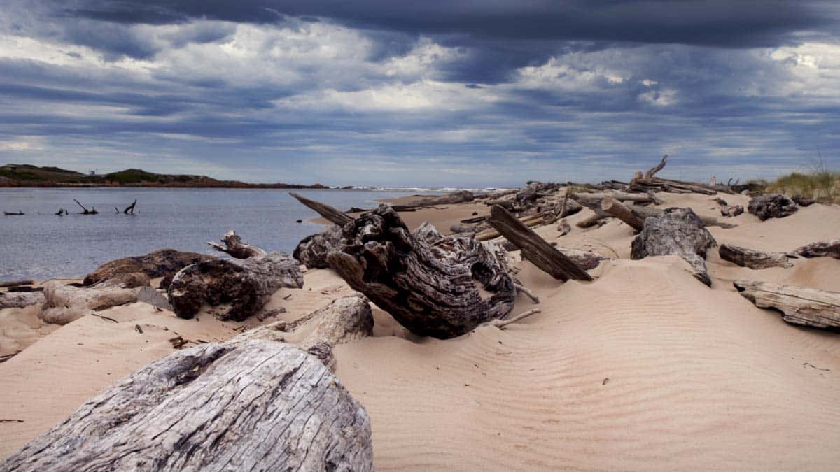
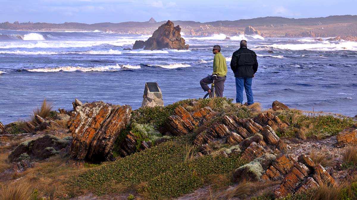
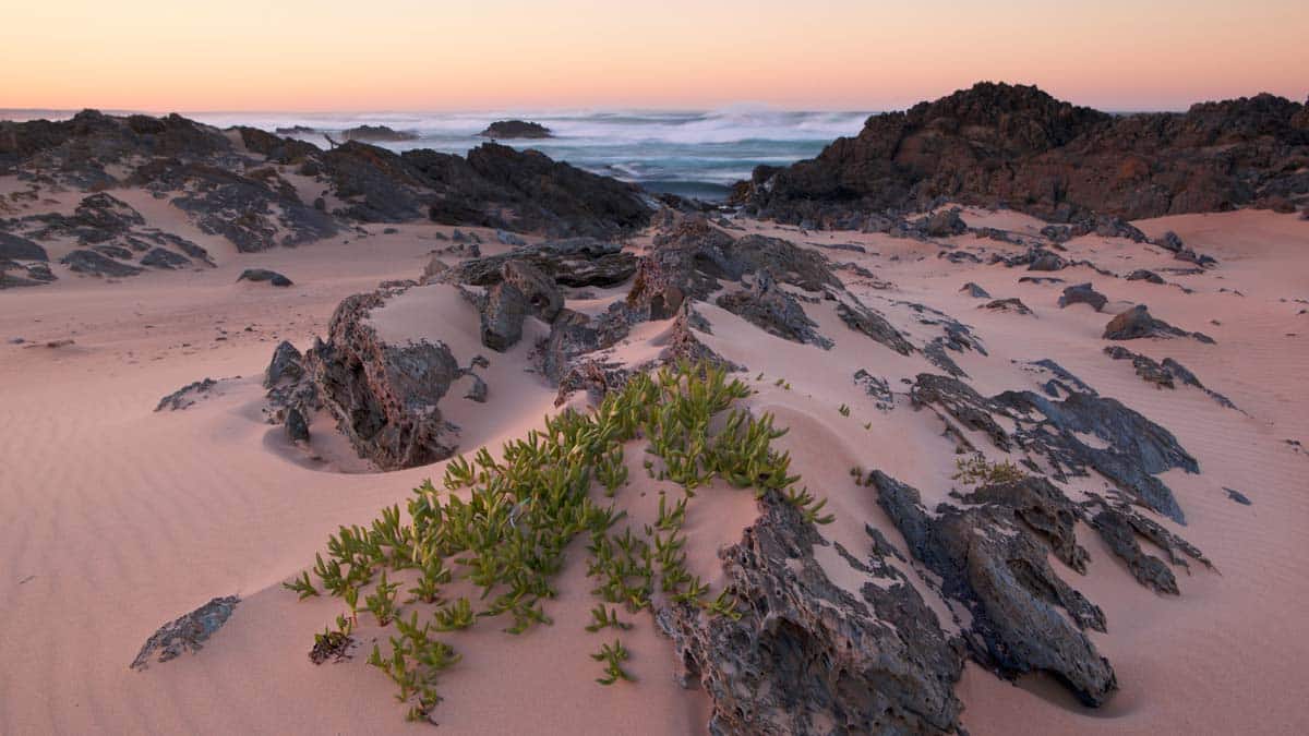
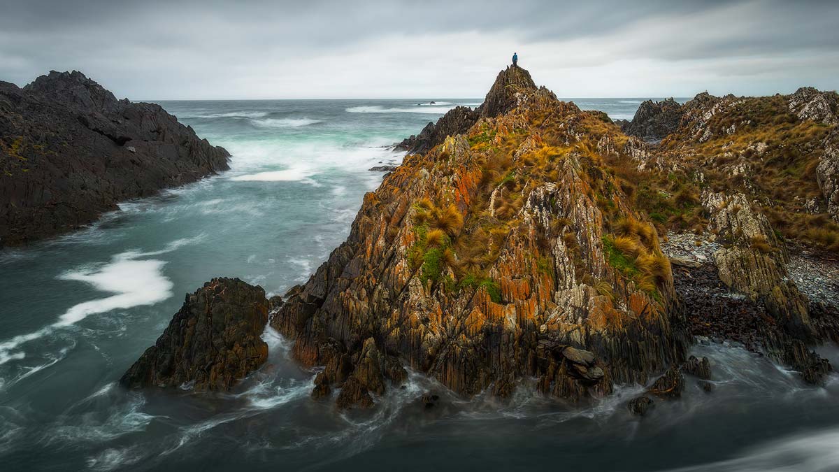
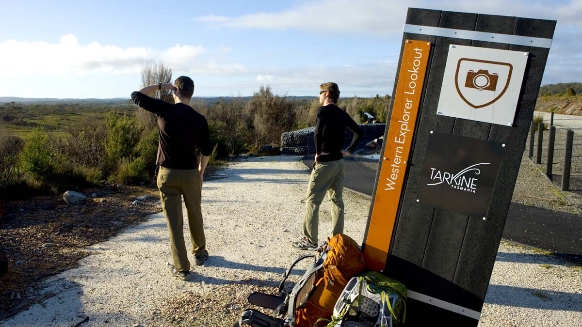
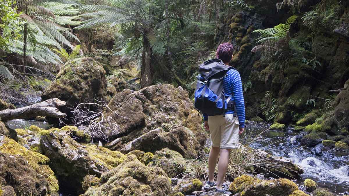
1. Arthur-Pieman Conservation Area

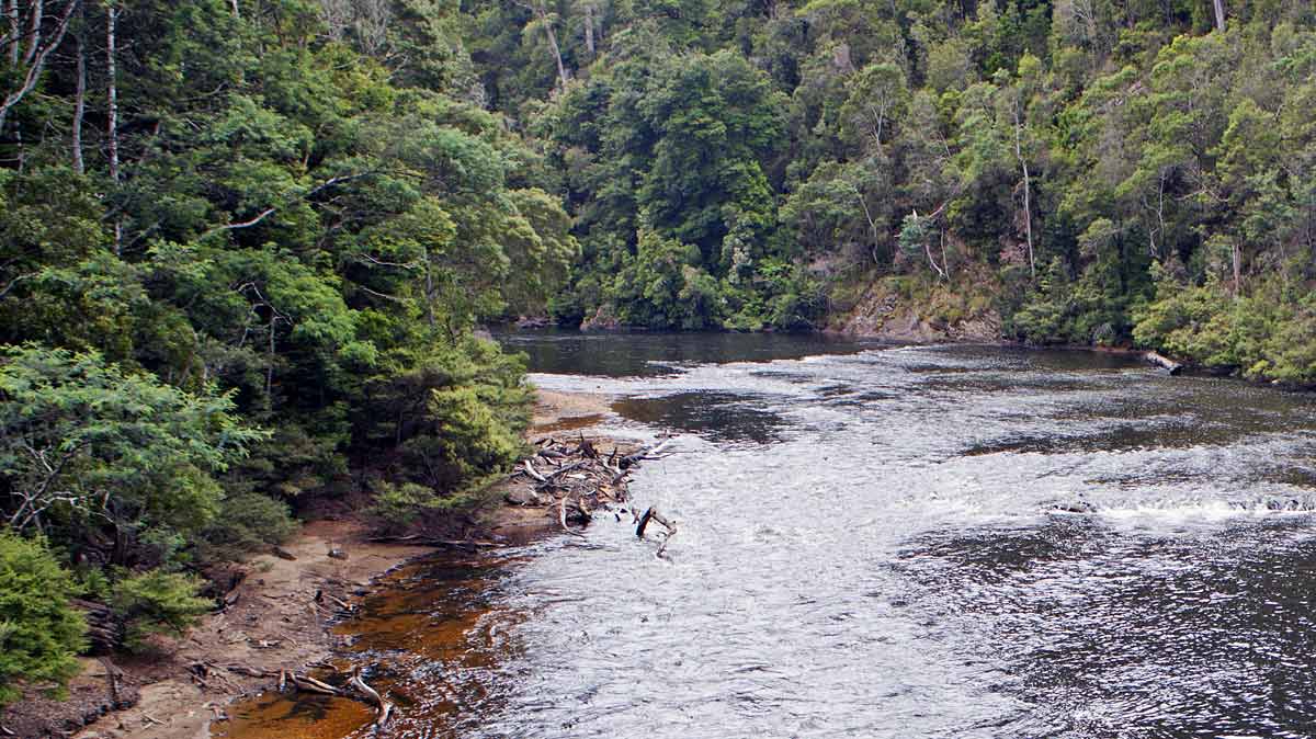
Information and Tarkine Drive entry point – a big, open land, shaped and nurtured by the hands of thousands of generations of Aboriginal families, with a coastline sculpted by the enormous swells of the Southern Ocean.

2. West Point Reserve (nungu)

Walk – West Point Reserve is a significant Aboriginal Heritage site and a popular surfing spot that is renowned for its massive waves.

3. Bluff Hill Point

Walk, lookout – A top vantage point to survey the coast or to walk the short distance to the beaches below.

4. Arthur River Coastal Walk

Walk – Start at the mouth of the Arthur River andwalk north along the coast to Church Rock. Moderate walk, 2.5 hours return.

5. Edge of the World

Lookout, BBQ, toilet – This lookout features an exhilarating view of the Tarkine coast. Easy, 10 minutes.

6. Sundown Point Reserve (laraturunawn)

Walk – Head north from coastal community, then walk inland track at the fork in the road to view ancient rock carvings at the mouth of the Sundown Creek. Easy walk, 1.5 hours return.

7. Sarah Anne Rocks

Walk – Named after Tasmanian watercolour artist Sarah Anne Fogg, park in the shack community precinct then walk south to experience dramatic coastal rock formations. Easy walk 30 minutes return.

8. Couta Rocks

Walk – Coastal access. A small fishing settlement consisting of about 10 shacks and the slipway on the northern side of the small bay. Low rocky points border the 150 m long beach, with scattered rocks and reefs extending into the bay.

9. Western Explorer

Information and Tarkine Drive entry point – links Stanley in the North West to Strahan on the West Coast and takes you through some of the State’s most beautiful and isolated areas.

10. Balfour Packhorse Track

Walk – Follow an old packhorse track through stunning cool temperate rainforest. Difficult, 3 hours.

11. Kanunnah Bridge

Information, picnic area – A lovely spot for a picnic and to view the rapids and reflections of the Arthur River.

12. Sumac Lookout

Lookout – A breathtaking view over the majestic Arthur River and the surrounding cool temperate rainforest. Easy, 10 minutes.

13. Julius River

Walks, BBQ, toilet – Enjoy a barbecue or picnic at this enchanting rainforest and river site where there are two rainforest walks. Moderate, 30 & 40 minute walks.

14. Julius River Motorhome site

Caravan / Motorhome parking site – On the northern edge of the huge Tarkine rainforest wilderness, this forest camping area is 10 km east of the Kanunnah Bridge and Sumac Lookout.

15. Lake Chisholm

Walk – A picturesque short walk through tall trees and mixed forest leads you to one of the finest examples of a flooded limestone sinkhole in Australia. You could spot a platypus here. Moderate, 30 minutes.

16. Dempster Plains*

Lookout – Expansive views over buttongrass plains to the interior mountains and hills of the Tarkine. Easy, 10 minutes.

17. Rapid River

Lookout, picnic area – A scenic spot to have a picnic alongside the tannin-stained Rapid River.

18. Sinkhole

Lookout – An intriguing flooded sinkhole with its dark waters and stunning reflections.

19. Milkshake Hills*

Stop for a bite to eat at this unique picnic shelters nestled in the rainforest. Two easy walks 30 minutes and 1 hour.

20. Tayatea Bridge

Information, lookout – A great spot to view the wild Arthur River.

21. Trowutta Arch

Walk – A short walk through lovely rainforest takes you to an extraordinary and rare geological feature (via Reynolds Road). Easy, 30 minutes.

Menu